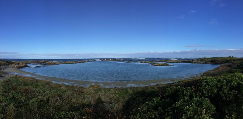
The site of the wreck on King Island, now known as Netherby Cove
See the Timelines and Maps page for the geographical location.
The ship struck the reef on the south west side of King Island (near what is now the town of Currie) about 100 yards off shore.
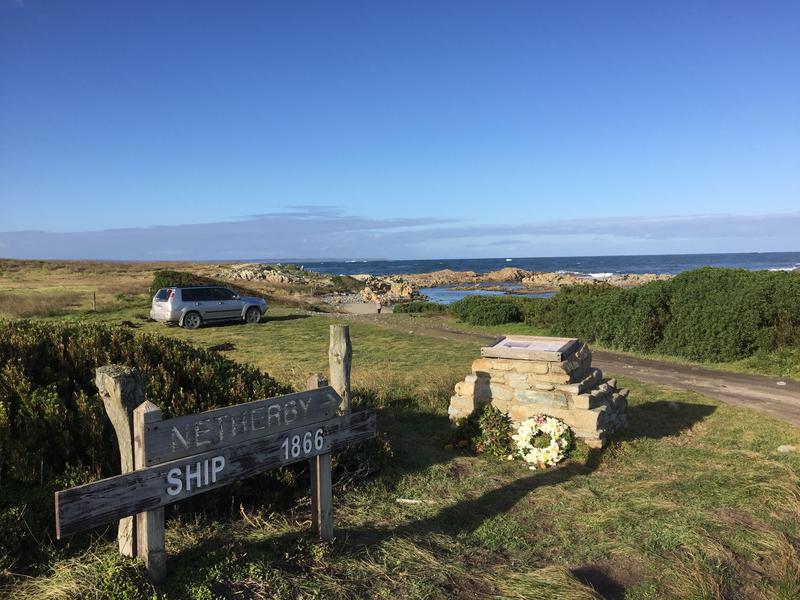
King Island is ringed by wrecks and the locals have ensured each wreck site is marked with posts, a cairn and informative poster.
(c) Megan McCawley, Seymour descendant
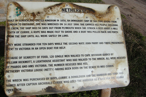
Prior to the construction of the cairn, the wreck site was marked with this sign. Please excuse my memory as to who sent this to me quite some years ago. It may have been Larry Lingard or Ann Rutte.
(c) Karina Taylor, Massingham descendant
The entrance to the wreck site
(c) Megan McCawley, Seymour descendant
The top of the cairn at the wreck site.
Panorama of Netherby Cove showing the reef the ship struck (approx in the middle of the photo).
(c) Karina Taylor, Massingham descendant
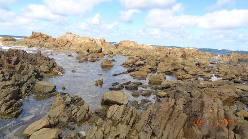
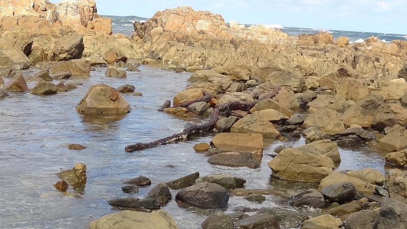
Right and below: In 2011 when Ann Rutte visited King Island, she was able to get right out onto the reef and photograph what we think are the rib structures from the Netherby's keel.
(c) Ann Rutte, Cubbin descendant
(c) Ann Rutte, Cubbin descendant